Lines on Paper, Power in Practice: What Luray's Old Maps Were Really Saying
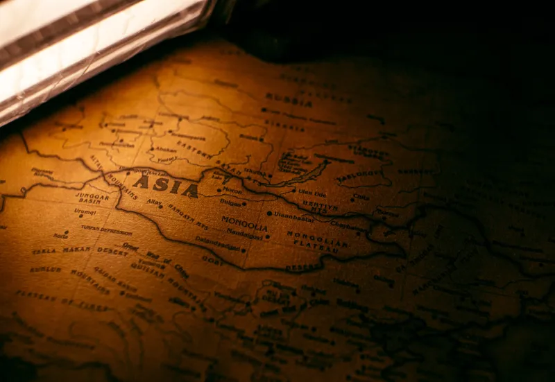
There's something seductive about an old map. The faded ink, the hand-lettered place names, the careful hatching along ridgelines — it all feels like truth. Like someone simply looked at the land and wrote down what they saw.
But maps have never worked that way. Every cartographer makes choices: what to include, what to leave out, what to call a thing, and whose name gets attached to it. In the Luray area, those choices weren't neutral. They were political. And when you start laying the old surveys of Page County side by side with what we now know from oral histories, church records, and archaeological findings, a very different picture of this valley starts to take shape.
The First Lines Drawn
The earliest European surveys of the Shenandoah Valley date to the early 1700s, when Virginia's colonial government began parceling out land grants to settlers willing to push west. Those surveys had a job to do: establish legal ownership for European claimants. They were never designed to document what was already here.
Shenandoah territory had been home to Siouan-speaking peoples — including the Monacan Nation — as well as seasonal hunting communities from multiple Indigenous groups for thousands of years before any European surveyor arrived with a chain and a compass. The early maps don't reflect that. Landmarks that carried Indigenous names were either transliterated carelessly, renamed entirely, or simply left blank, as if the land had no prior identity worth recording.
The Shenandoah River itself is something of an exception — its name survived, though its origin and meaning were largely stripped from the official record. Most other Indigenous place names in the Page County area didn't fare as well. When the colonial surveys divided the valley into parcels, the land's existing vocabulary was quietly retired.
What the 19th-Century Surveys Chose Not to Show
By the time Page County was formally established in 1831, Luray had begun to develop its own internal geography — neighborhoods, settlements, informal roads, and community gathering places that don't appear on any official plat. Some of those places belonged to free Black residents and, later, to freedpeople building lives after emancipation.
Cross-referencing mid-19th century county maps with deed books and freedmen's bureau records reveals something telling: the small farms and clustered settlements where Black families lived were routinely absent from maps that otherwise documented the landscape in considerable detail. White-owned farms, mills, and churches appear with names attached. Black-occupied land — even when legally owned — frequently shows up as blank space, or is absorbed into the boundaries of surrounding white-owned properties without notation.
This wasn't accidental cartographic laziness. The omission served a purpose. Land that doesn't appear on a map is land that's easier to dispute, easier to absorb, and easier to forget. Several Page County land disputes from the post-Reconstruction era involved exactly this kind of erasure, where the absence of a Black family's property from official surveys was used as grounds to challenge their ownership in court.
The Naming Game
Place names are their own kind of map. They tell you who had the authority to define a location and whose understanding of the landscape was considered worth preserving.
In the Luray area, certain hollows, creek branches, and road junctions carried informal names in community use that never made it onto official county maps. Some of those names reflected the Black families who had farmed or lived there for generations. Others marked locations significant to labor history — the sites of early quarry operations, for instance, where immigrant workers lived in boarding houses that appeared in census records but rarely on maps.
When the U.S. Geological Survey began producing its topographic sheets for the region in the late 19th and early 20th centuries, the standardization process flattened a lot of that local naming. Places that had been known by one name in a community were either renamed to match a landowner's preference or simply labeled with a generic descriptor. The result was a landscape that looked orderly and legible on paper but had quietly been stripped of some of its most meaningful local context.
Tourism and the Curated Map
The late 19th century brought a new kind of cartographic pressure to the Luray area: tourism. After Luray Caverns opened in 1878 and the railroad arrived, the region became a destination, and maps started serving a promotional function alongside their practical one.
Tourist maps of the Shenandoah Valley from the 1880s through the early 20th century are fascinating documents. They emphasize scenic vistas, natural attractions, and resort hotels. They highlight the routes most useful to a visitor arriving by train. What they don't show is the full texture of the communities those visitors were passing through — the Black neighborhoods, the immigrant labor camps, the subsistence farms tucked into the hollows.
The valley being sold to tourists was a carefully edited version of the valley that actually existed. That editorial process had lasting effects. When the National Park Service began acquiring land for Shenandoah National Park in the 1920s and 1930s, the maps and surveys used to justify those acquisitions were themselves products of decades of selective cartography. Communities that had been invisible on maps were easier to displace — in part because the official record had never fully acknowledged they were there.
Reading the Gaps
The good news is that the gaps themselves are readable, if you know how to look.
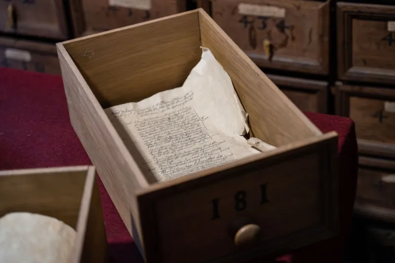
Researchers working with Page County's historical records have started doing exactly that — comparing official maps against tax records, church plat books, family land surveys, and the kind of hand-drawn maps that circulated within communities rather than through official channels. What's emerging is a more layered picture of the Luray landscape, one that restores some of the names, places, and communities that official cartography left out.
If you're visiting Luray and you want to understand the place you're walking through, it's worth spending some time with those old maps — not just as historical curiosities, but as arguments. Ask what they're emphasizing. Ask what's missing. Ask whose authority they reflect.
The land itself hasn't forgotten what the maps left out. It just takes a little more work to hear it.