Water, Wheels, and Work: The Forgotten Mill Culture That Once Powered Luray's World
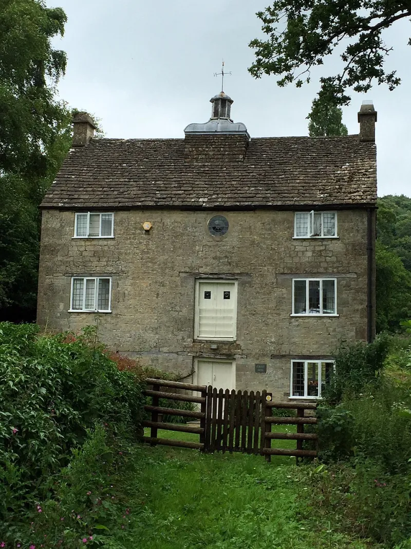
Photo: Alan Hughes , CC BY-SA 2.0, via Wikimedia Commons
Stand at the edge of almost any creek in Page County on a still morning and you can almost hear it — the low, rhythmic groan of a wooden wheel turning against moving water, the rumble of stone on grain, the shouts of men stacking fresh-cut lumber into rough, sweet-smelling piles. That sound has been gone for generations, but the landscape around Luray still carries the memory of it in ways that reward a curious eye.
Water-powered milling wasn't just an industry here. It was the connective tissue of an entire regional economy, a social institution, and — for better and worse — a force that permanently altered the shape of the Shenandoah Valley itself.
The River as Engine
The geography that makes Page County so visually stunning — that long, bowl-shaped valley cradled between the Blue Ridge and Massanutten Mountain — also made it a natural engine room. The South Fork of the Shenandoah River and its tributaries dropped steadily enough to generate real mechanical power, and early settlers recognized that almost immediately.
By the early 1800s, grist mills, sawmills, and small textile operations had staked claims along virtually every reliable waterway in the region. These weren't isolated curiosities. They were the anchors of small communities — places where farmers brought their grain, where timber became usable lumber, where raw wool got carded and spun. A working mill drew people to it the way a general store or a church did. In many cases, a mill was the reason a settlement existed at all.
Some operations were modest, family-run affairs that served just a handful of neighboring farms. Others grew into genuine commercial enterprises, processing grain or lumber for markets well beyond the valley. The distinction mattered socially as much as economically. The miller occupied a particular kind of authority in rural communities — he was a craftsman, a businessman, and often a community broker all at once.
Reshaping the Land
Here's something that doesn't always make it into the romantic version of mill history: these operations fundamentally changed the physical landscape of the Shenandoah Valley, and not always gently.
Building a mill required a reliable head of water, which meant building dams. Those dams altered stream flow, flooded low-lying bottomland, and disrupted fish migration patterns that Indigenous people and early settlers had both depended on for centuries. The millponds created by these structures became features of the local geography — some of them persisting for decades after the mills themselves had stopped operating.
Sawmills, meanwhile, fed an appetite for timber that stripped hillsides across the region during the 19th century. The Blue Ridge slopes visible from Luray today are largely second- or third-growth forest. The original old-growth timber that once covered them went through sawmill blades to build barns, houses, fences, and railroad ties across the expanding American East. The landscape you're looking at when you drive Skyline Drive isn't pristine wilderness — it's regrowth, a living record of industrial extraction.
Grist mills were somewhat gentler on the terrain, but they too left marks. Mill races — the channels dug to direct water to a wheel — can still be traced in places, their slight depressions cutting across fields that have been plowed for a century since the mills closed.
The Social Architecture of Milling
The mill wasn't just a place where grain became flour. It was one of the few reliable gathering points in a rural society that didn't have much else in the way of public space.
Farming families often waited hours for their grain to be processed, which meant the mill yard became an informal forum — a place for news, argument, gossip, and deal-making. Political opinions got aired there. Marriages got arranged. Disputes got settled, or started. In a pre-telegraph, pre-telephone world, the mill was where information circulated.
That social dimension had a darker side too. Enslaved people in Page County were sometimes hired out to mill operations, performing skilled and dangerous labor under conditions they had no power to refuse. The economic success that made some Page County mills prosperous regional institutions was built, in part, on that coerced labor. It's a dimension of local mill history that deserves acknowledgment alongside the more pastoral images that tend to dominate the heritage tourism narrative.
What the Decline Left Behind
The mill economy didn't collapse all at once. It eroded gradually over several decades, pressured by a combination of forces that proved impossible to resist.
The expansion of railroad infrastructure after the Civil War opened Luray to cheaper grain and lumber from larger, more mechanized operations in the Midwest and beyond. Local mills that had operated profitably for generations suddenly found themselves undercut. Some adapted by specializing or diversifying. Most couldn't.
By the early 20th century, rural electrification and improved road networks finished what the railroads had started. If you could drive to a larger town and buy commercially milled flour for less than it cost to haul your grain to the local mill, the economic logic of the neighborhood operation simply evaporated. One by one, the mills of Page County went quiet.
What that silence meant for Luray's identity is complicated. The decline of mill culture accelerated a broader shift away from diversified, community-scaled rural production toward a more consolidated, market-dependent economy. Some of the social glue that had held small communities together dissolved along with the mills themselves.
Reading the Remnants
The good news for heritage travelers is that the Shenandoah landscape is still remarkably legible if you're looking for mill-era traces. You just have to know what you're reading.
Millstones — those heavy, ridged grinding discs — occasionally surface in farm fields or appear repurposed as garden ornaments or stepping stones. If you spot one, you're likely near an old mill site. Dam remnants show up as low stone ridges crossing creek beds, sometimes nearly invisible under decades of sedimentation and vegetation. Mill race depressions cross fields throughout the county, their slight topographic signatures surviving long after the channels were abandoned.
Some mill structures themselves partially survive. Stone foundations and partial walls appear in wooded creek bottoms across the region — best spotted in late fall and winter when the leaf cover is down. Local historical societies and the Page County Heritage Association have documented many of these sites, and their records are worth consulting before you head out to explore.
The Page County courthouse holds deed records and plat maps that can help trace mill locations with surprising precision. Early county atlases, some of which have been digitized and made available through Virginia's library system, mark mill sites explicitly — a treasure map of a kind for anyone serious about following the water-powered past.
Why It Still Matters
Luray today draws visitors for its caverns, its Shenandoah scenery, and the outdoor recreation the valley offers in abundance. All of that is real and worth celebrating. But the mill history underneath it — that story of water harnessed, communities built, landscapes altered, and economies transformed — adds a dimension to the place that makes it genuinely interesting in a different way.
The creeks are still here. The water still moves. And if you follow it carefully enough, it'll take you somewhere the tourist brochures don't usually go.